")
")
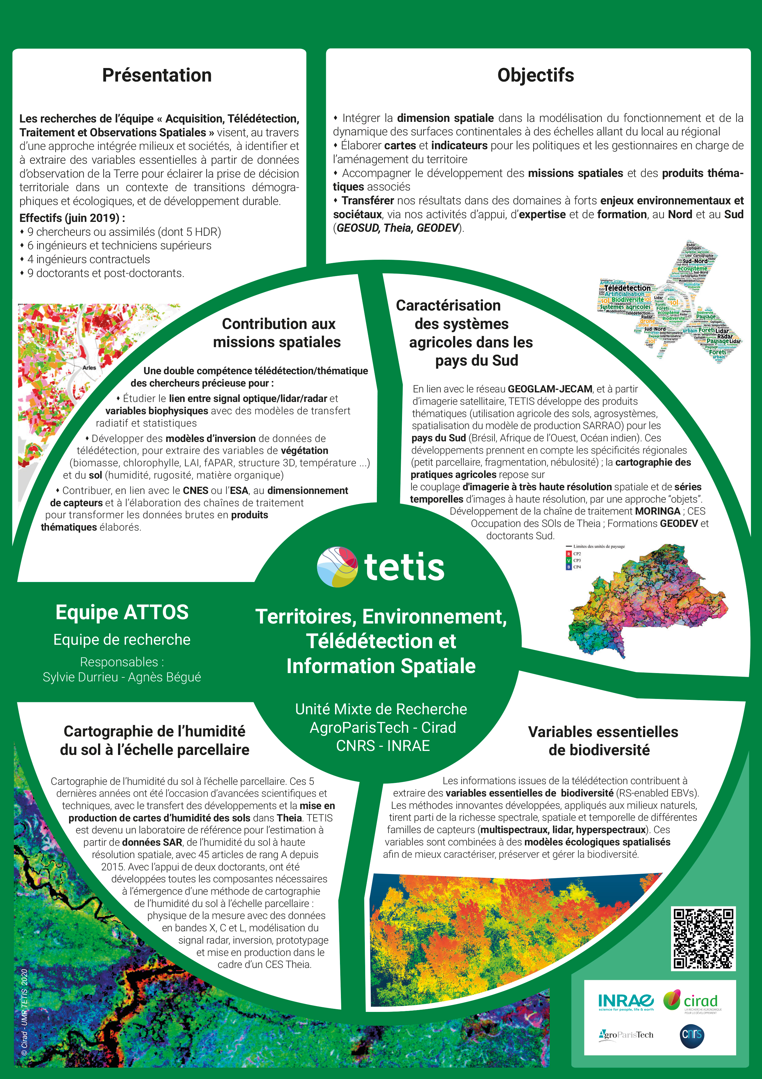
The ATTOS team develops techniques and methods for detecting, identifying, characterising and monitoring surfaces and objects using Earth observation data and/or data acquired in the field.
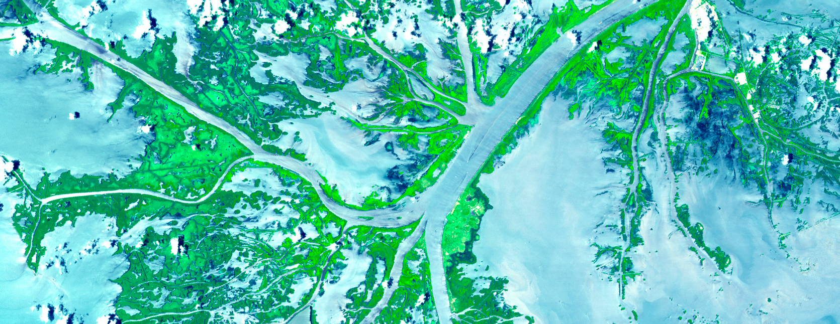
Optical, radar and lidar techniques are at the heart of the research project, which is strongly focused on the use of remote sensing for environmental, agricultural and land-use planning applications.
ATTOS - Acquisition, remote sensing, processing and space observations
Expand, study, develop, organise
More specifically, the team contributes to :
- Supporting the development of space missions and associated thematic products;
- natural, anthropised and semi-artificial environments to meet the challenges facing regional decision-makers;
- To provide spatial information to support regional decision-making in the context of agro-ecological transitions, global change and sustainable development by using Earth observation data;
- To transfer, through its support, expertise and training activities, the results of its research into areas where there are major environmental and societal challenges, both in the North and the South.
At national level, the ATTOS team is recognised as one of the major scientific players in the use of remote sensing data in areas such as mapping land use and occupation, monitoring natural environments and extracting biophysical variables from vegetation and soil.
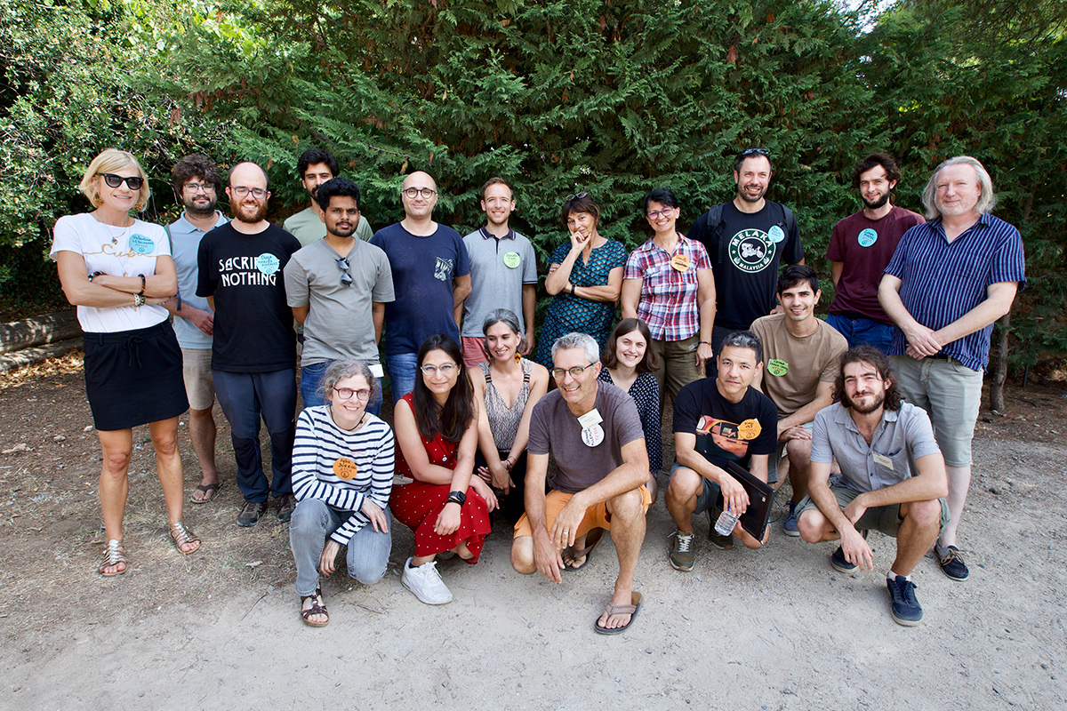
The team is made up of around twenty permanent staff (including 6 HDRs), as well as around thirty non-permanent staff (PhDs, fixed-term contracts, post-docs). The team is original in that it is made up of multidisciplinary scientists: agronomists, ecologists, specialists in environmental sciences and computer scientists who bring their expertise in different thematic areas and who have mastered the concepts, methods and tools of signal processing, remote sensing and Artificial Intelligence.

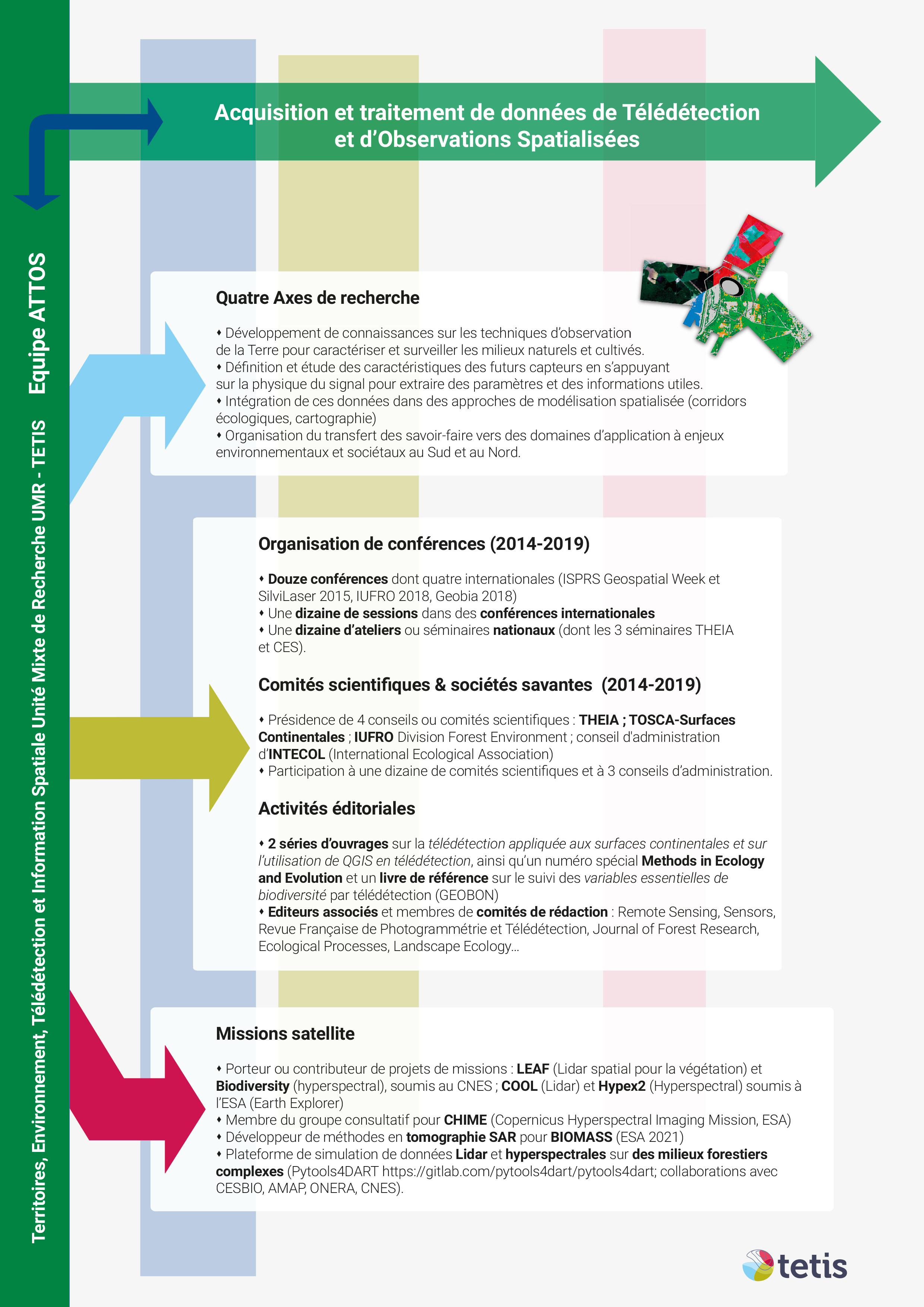
 The ATTOS team stands out for its ability to mobilise satellite and airborne data from a variety of sensors (optical, radar, LIDAR, etc.) and time series of satellite images, as well as their use in a multi-source and multi-scale context, and for its modelling approaches in order to contribute to integrated and robust spatial analyses. In addition, the team is able to conduct field campaigns to collect data from UAVs, terrestrial LIDAR, DGPS, etc. ATTOS also has extensive experience of managing and developing remote sensing products via the EQUIPEX GEOSUD, the THEIA continental surfaces cluster and the DINAMIS remote sensing data pooling system. At European level, the scientific community to which ATTOS belongs is united around the COPERNICUS programme. https://www.esa.int/Applications/Observing_the_Earth/Copernicus
ATTOS is also involved in two international initiatives federating Earth observation for monitoring purposes:
- of agriculture - Group on Earth Observations GLobal Agricultural Monitoring - GEOGLAM :- See the website
- of biodiversity - Group on Earth Observations Biodiversity Observation Network GEOBON - See the website