")
")
how can information be made useful, usable and used, in the North as well as in the South?
- What information can be created, mobilised and used to support the governance of territories and resources?
- What role should information systems play in supporting local players?
- How can we develop and support participation, mediation and learning?
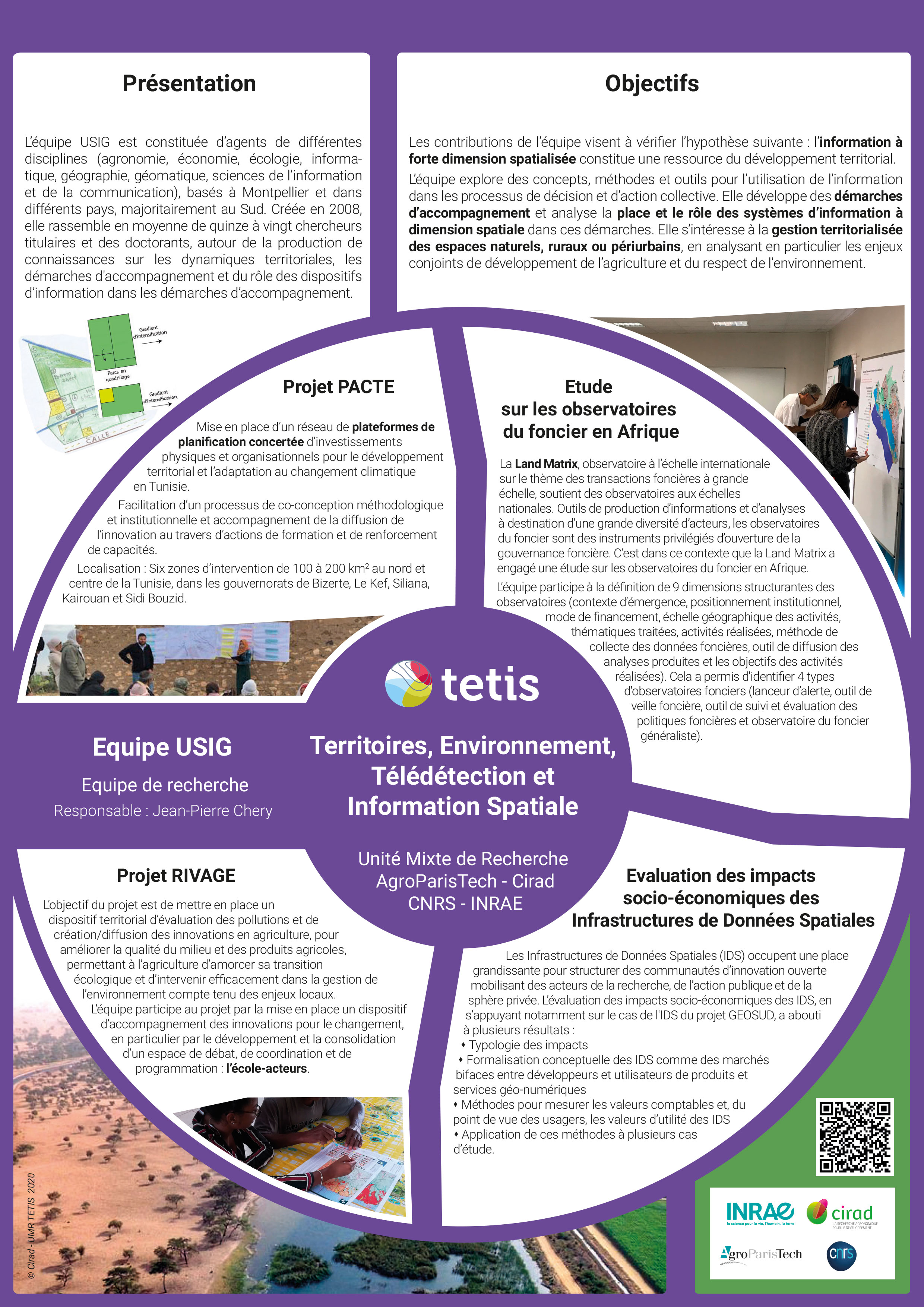
USiG - Use of Spatial Information and Governance
Developing concepts, methods and tools for using information
The aim of the UsIG team is to develop concepts, methods and tools for the use of information - in the broadest sense of the term - in decision-making processes and collective action.
The aim is to contribute to the expression of needs and to develop support approaches, while analysing the place and role of information systems in these approaches.
Our research focuses as much on the 'spatial and statistical information overload' characteristic of Western societies as on the qualitative and/or quantitative lack of observable data and information in developing countries.
The UsIG team is organised into three research areas:
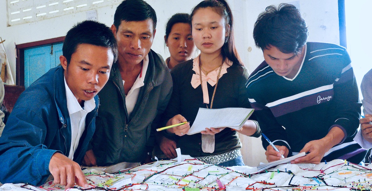
- Supporting stakeholders: Evaluating participatory approaches and processes; encouraging stakeholder commitment through shared reference systems; improving the link between learning processes and technical components; and exploring ethical issues.
- Characterising the state and dynamics of territories: analysing the interplay of players and power, governance mechanisms, understanding the issues involved in territorial development
- To analyse the role and effects of information and communication systems in support processes:
- To characterise the systems, study the conditions for their adoption, analyse the uses planned and observed in situ, study the flow of information within the networks of players.