Select your language
")
")
Distance learning module
Copernicus & biodiversity
Copernicus & biodiversity
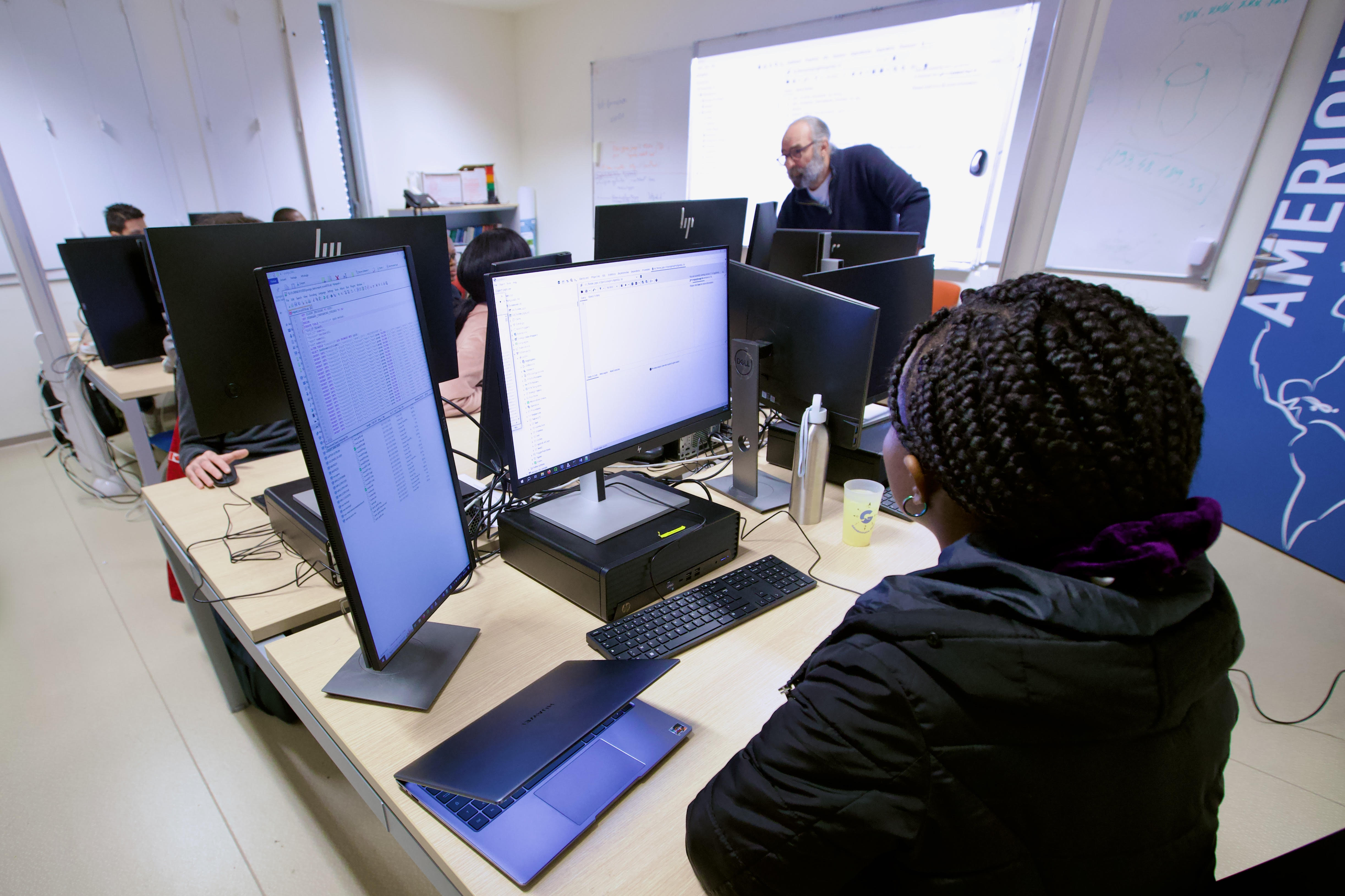
Distance learning moduleAs part of the European "Copernicus User Uptake - FPCUP" framework programme, AgroParisTech has produced a distance learning module on "Copernicus and biodiversity". The online courses are in the form of commented slide shows and videos. They are supplemented by quizzes and practical work sequences.
Two training sessions were organised in parallel from 9 to 31 January 2024. Each was attended by around twenty learners: professionals from the public and private sectors, teachers and doctoral students.
European funds from the FPCUP, supplemented by a contribution from the CNES, were used to finance the production of the materials and to offer the sessions free of charge to the learners.
The training course was made possible thanks to the strong commitment of researchers from TETIS (INRAE and CIRAD) and TeleScop.
The aim was to explain the use of remote sensing, and more specifically Sentinel images, for the understanding and management of various aspects of biodiversity, through a programme sequenced as follows :
- General information, landscape ecology, patterns and processes, remote sensing,
- Mapping biodiversity using Sentinel 2 images, including a practical exercise,
- TP: physiognomy of vegetation,
- Remote sensing and the green and blue grid, including a practical course,
- Remote sensing biodiversity and health.
Since 2017, AgroParisTech has been awarded the Copernicus Academy label. With funding from the FPCUP programme and the CNES, the AgroParisTech - TETIS team has coordinated the production of three distance learning modules, the materials for which are freely available.
Latest news
-
 19 December 2025
Atelier pluridisciplinaire du projet STAR-FARM
-
 02 December 2025
Prix de la meilleure présentation au BMVC 2025
-
 02 December 2025
Veille en épidémiosurveillance