Select your language
")
")
Water retention capacity of soils
Senegal
Senegal
Water retention capacity
of soils
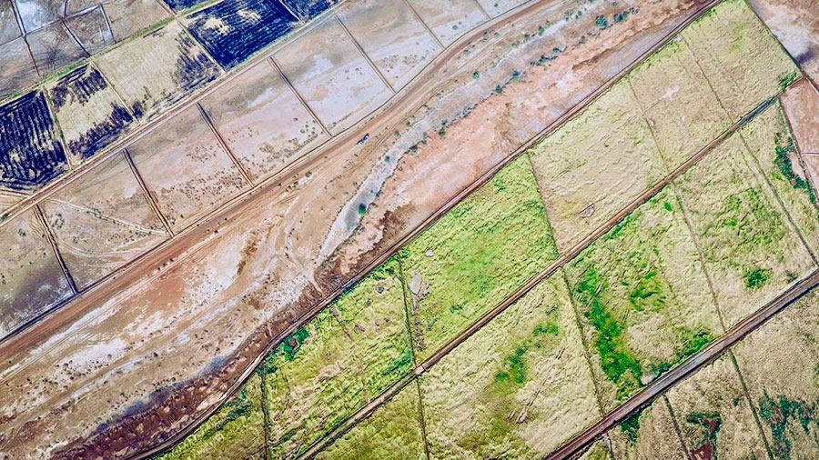
Photo credit: Jeremy Bourguoin
Jeremy Lavarenne and Louise Leroux have just published a high-resolution map of available soil water content in Senegal, based on the Innovative Solutions for Decision Agriculture (iSDA) Africa dataset and the Rosetta3 model from the United States Department of Agriculture (USDA).
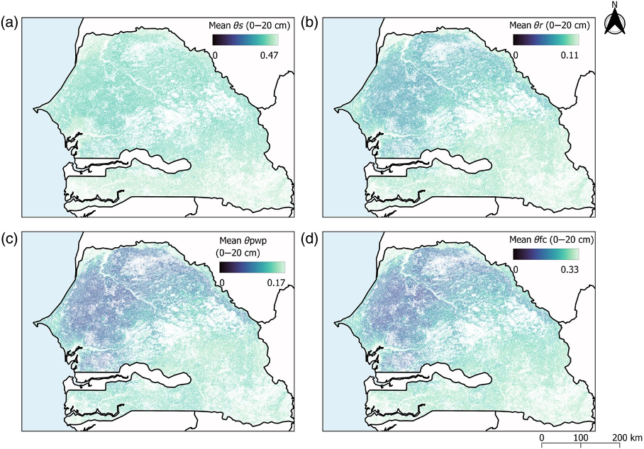
The published map covers the whole country at a resolution of 30 metres and is a valuable resource for hydrological studies and spatial simulations of cropping patterns in the region where water is a limiting factor for agricultural production. The dataset is based on existing soil property estimation products and uses pedotransfer functions (PTFs) from the Rosetta3 model to estimate soil water retention capacities. This map of water availability for plants provides a spatialised estimate of these properties, which can be useful for informing water and agricultural managers, policy-makers and investors. The dataset, including the intermediate variables for the various stages of the calculation, is available in GeoTIFF format on CIRAD's Dataverse.
Jeremy Lavarenne, a CIRAD researcher, is a member of UMR TETIS. He specialises in agroclimatology and crop modelling.
Latest news
-
 02 December 2025
Prix de la meilleure présentation au BMVC 2025
-
 02 December 2025
Veille en épidémiosurveillance
-
 02 December 2025
Publication dans la revue Machine Learning